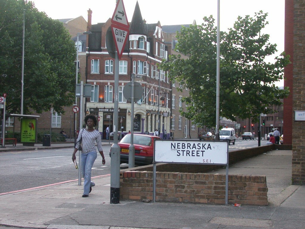
Nothing in the world of travel planning pays more than to study maps. While living in London a decade ago, I noticed an enlarged street plan posted in a Tube stop highlighting an area south of the river. A wee lane caught my eye: “Nebraska St.” Whoa. Considering so much of the US has borrowed English nomenclature for its people and places, seeing this Native American export on a London street deserved closer look. So on my last night in London, for fun, I told two American friends living there (one even from Nebraska) to meet me nearby. Nebraska Street being the promised “hit or miss” surprise.
Nebraska Street turned out to be a sad little block, dead-ending on a fenced-off construction site. But naturally there was a fun pub on the corner, where neighboring tables chatted across the room and pet dogs played by your feet. The bartender told me Nebraskans come for a drink every now and then. But why “Nebraska”?
“Oh it was changed to Nebraska not too long ago,” he told me. “I think the previous name was for a guy who turned out to be a child molester.”
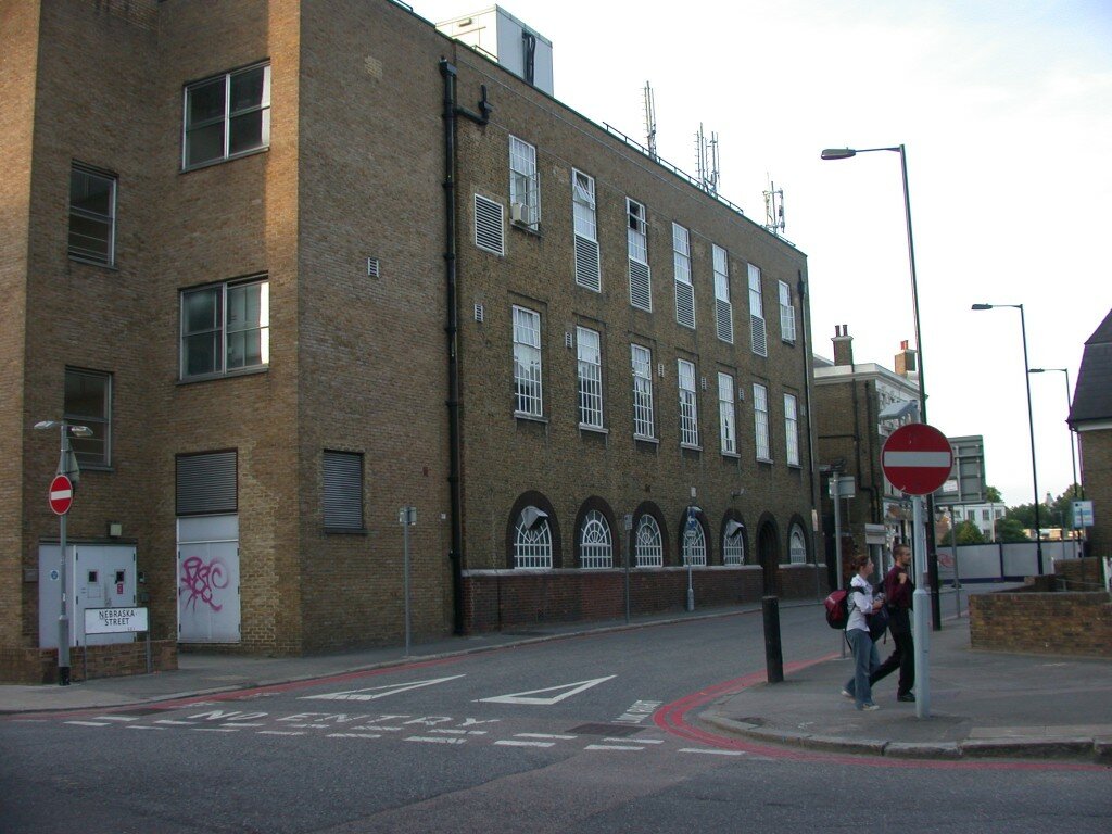
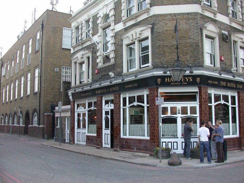
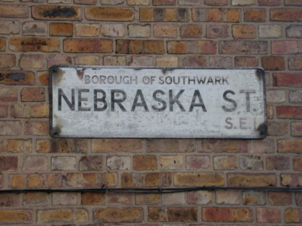


I just noticed Nebraska St in A-Z, & looked up this site; interesting explanation however the street sign you show looks rather weathered. So one wonders about “not too long ago.”
My grandmother used to live in a flat opposite the pub. I was last there in about 1968 and it was called Nebraska Street back then – and had been for as long as I can remember it
Rubbish. Nebraska Street is the name displayed on the wartime London County Council maps of war damage.
This is not at all surprising to me. I was never satisfied with that explanation from back in 2003. And it’s funny if they just made it up to poke fun too. But how it got picked. Nebraska? That still fascinates me.